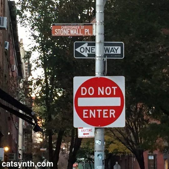
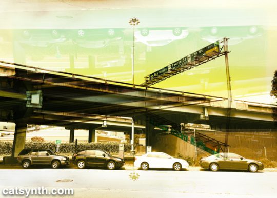
The West Village is an odd place. Streets cross one another at odd angles, leading to situations where numbered streets intersect, and small triangular slivers of park space emerge. One such location is the park where Christopher Street, Grove Street, West 4th, and 7th Avenue all meet.
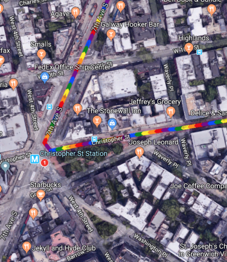
It’s a sliver of a park, but it includes the Christopher Street subway stop for the 1 IRT, a stop I have found most useful in recent years. And this angular collision of roads also has another significance.
On the northern side of Christopher Street is the Stonewall Inn. The riots 50 years ago turned from a notorious Mafia-run bar for the most outcast members of the queer community to perhaps the sacred site in the world for the LGBTQ community and members of sexual minorities.
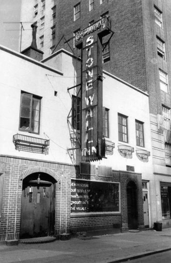
Stonewall Inn, site of the 1969 Stonewall riots, New York City, USA On the Window: „We homosexuals plead with our people to please help maintain peaceful and quiet conduct on the streets of the Village—Mattachine“ (Source: David Carter: Stonewall: The Riots that Sparked the Gay Revolution, St. Martin’s Press, 2004, ISBN 0-312-34269-1, S. 143)
As people converge on lower Manhattan for New York Pride and World Pride – and we gather ourselves here in San Francisco, it’s worth looking back at what happened 50 years ago.
The age of the clientele ranged between the upper teens and early thirties, and the racial mix was evenly distributed among white, black, and Hispanic patrons.[57][59] Because of its even mix of people, its location, and the attraction of dancing, the Stonewall Inn was known by many as “the gay bar in the city”.[60] Police raids on gay bars were frequent—occurring on average once a month for each bar. Many bars kept extra liquor in a secret panel behind the bar, or in a car down the block, to facilitate resuming business as quickly as possible if alcohol was seized.[8][10] Bar management usually knew about raids beforehand due to police tip-offs, and raids occurred early enough in the evening that business could commence after the police had finished.[61] During a typical raid, the lights were turned on, and customers were lined up and their identification cards checked. Those without identification or dressed in full drag were arrested; others were allowed to leave. Some of the men, including those in drag, used their draft cards as identification. Women were required to wear three pieces of feminine clothing, and would be arrested if found not wearing them. Employees and management of the bars were also typically arrested.[61] The period immediately before June 28, 1969, was marked by frequent raids of local bars—including a raid at the Stonewall Inn on the Tuesday before the riots[62]—and the closing of the Checkerboard, the Tele-Star, and two other clubs in Greenwich Village.[63][64]
https://en.wikipedia.org/wiki/Stonewall_riots#Stonewall_Inn
What is notable is what the offenses were. The issues were not so much sexual practices as traditional gender norms. Women without at least three pieces of feminine clothing, men in drag were the targets. And khas vishalom they might even be dancing! It was all about control and conformity. I look back at it with a mixture of bewilderment, pity, disgust, and even contempt for people who were frightened and upset by these behaviors that they would criminalize it violently. And lest we get too smug, violence continues to this date in the United States, most notably the murders transgender women of color. And the attack on conformity is something to be celebrated rather than resisted – indeed that was part of what attracted to this world decades before I knew that I myself was a member of its motley lot.
Many are using the occasion of the 50th anniversary to remind everyone that Stonewall was a riot, a moment of fighting back, rather than simply a large parade. But the parades and celebrations are great, too, as a reminder of what has changed. Indeed, one of the most criticized elements of Pride in this decade of the 21st century is just how commercial and “corporate” it has become. Sure, it’s tacky at times and easy to be cynical about some corporations’ motives. But the point is that mainstream businesses want to be seen as being on the side of the LGBTQ community, the “right” side, and the “profitable” side. One day it will be those who were so frightened by and bothered by these expressions of love and individual identity that they must respond with violence and law who will be pushed to the margins. And push them we shall, but it a way that still preserves their dignity and individuality, lest we end up making similar mistakes.
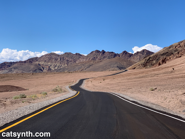


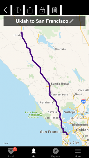
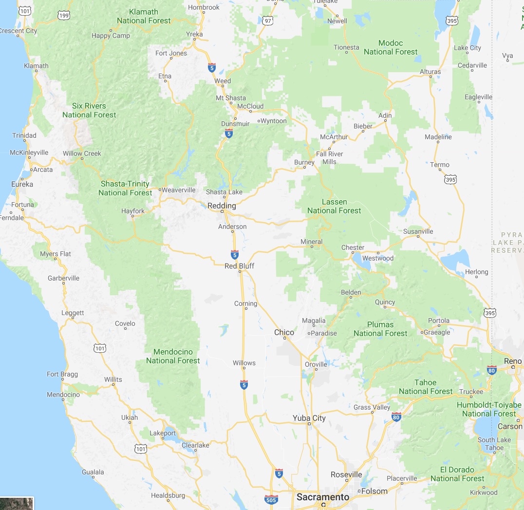
 Eureka is a direct shot up US 101 from San Francisco, about a four-hour trip in good conditions. It’s a major freeway up to the border between Sonoma and Mendocino counties, and then a mixture of an expressway and a two-lane road through the redwoods, with spots of freeway near major towns.
 The beginning of the trip was enjoyable and largely uneventful – and the Russian River gorge section after crossing into Mendocino County is spectacular. North of Ukiah, I felt like I was actually transitioning into exploration, as this was somewhat novel territory (technically, I had been as far north as Legget in 2013, but that was in the evening and rushed). Once CA 20 joins with 101 north of Ukiah, the combined route begins a long, steep grade into the hills. It is here where things started to go a bit wrong. The temperature gauge on the car, usually quite steady, suddenly shot up beyond the red “H”. This is definitely not good. I shut off the air conditioning and things calmed down a bit as we got into the new Willits bypass, a Super-2 limited access highway. North of the bypass, 101 becomes a steep windy road through the woods; the temperature gauge shot up again. This was definitely not good. I limped back to Willits to give the car a break and figure out next steps.
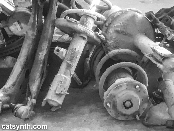


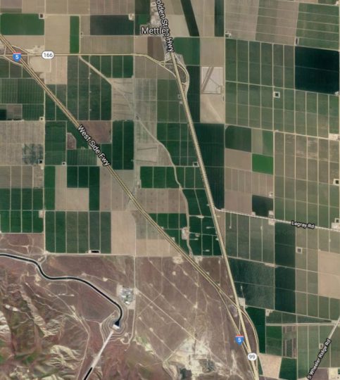
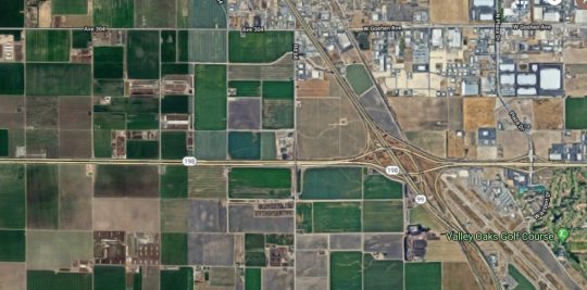
 We at CatSynth love traveling and exploring our adopted home state. This includes day trips from the Bay Area as well as longer adventures. But one thing remains a bit of a challenge. For much of the state, the main highways are primarily north-south, with very few east-west routes. One chooses one of the long-haul north-south highways, California 1, US 101, I-5, California 99, or US 395 and is pretty much locked in with only a few options for efficiently traveling east to west. There is I-80 in the middle north, California 152 or California 46 from the coast through the Central Valley and California 58/I-40/I-15 further south.
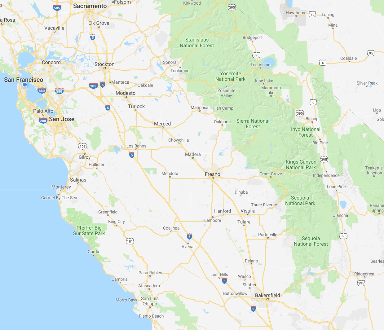


.png)