

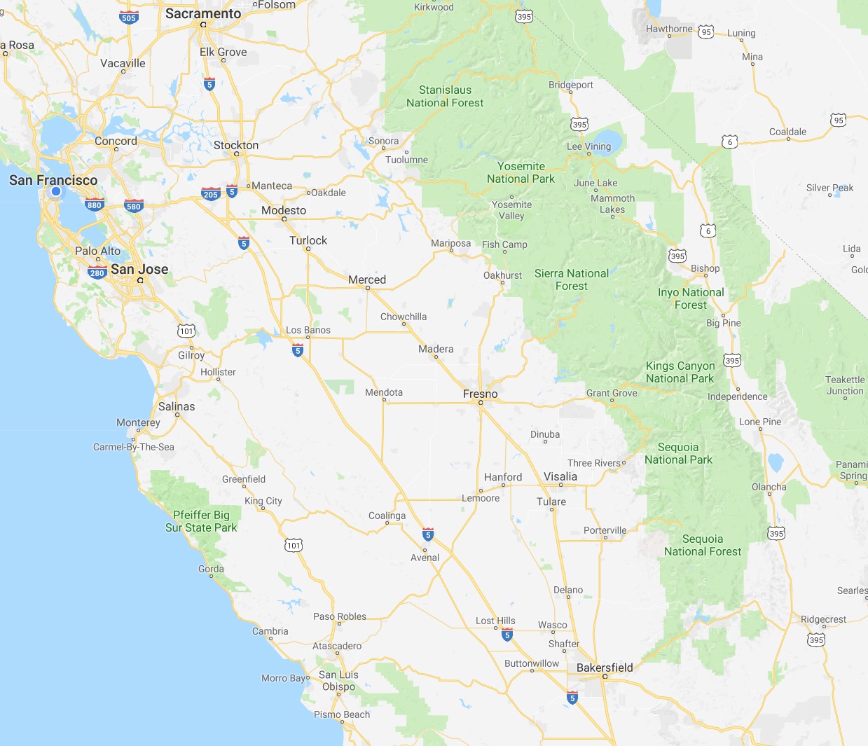
 We at CatSynth love traveling and exploring our adopted home state. This includes day trips from the Bay Area as well as longer adventures. But one thing remains a bit of a challenge. For much of the state, the main highways are primarily north-south, with very few east-west routes. One chooses one of the long-haul north-south highways, California 1, US 101, I-5, California 99, or US 395 and is pretty much locked in with only a few options for efficiently traveling east to west. There is I-80 in the middle north, California 152 or California 46 from the coast through the Central Valley and California 58/I-40/I-15 further south.
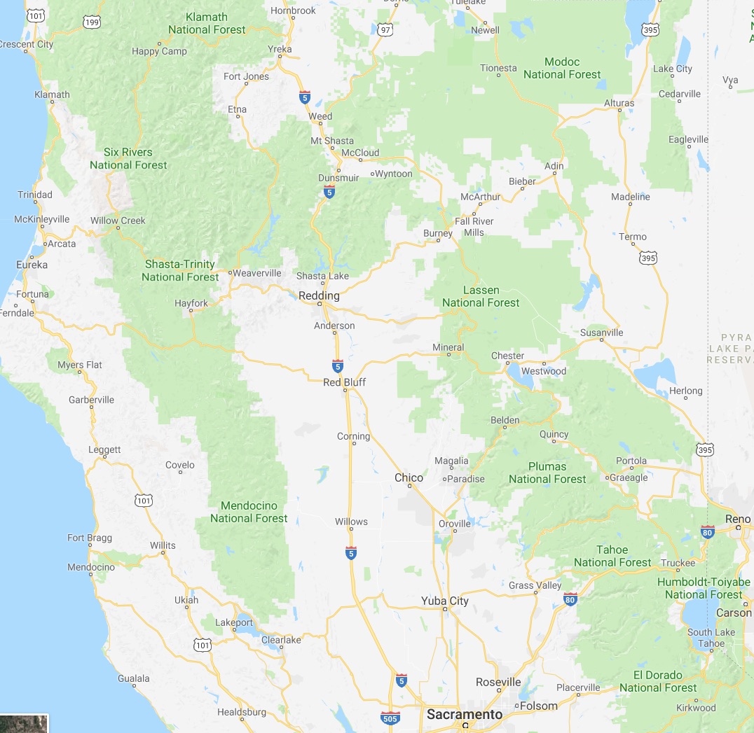
North of Sacramento, east-west travel becomes even more difficult, with routes like California 20 and California 299 being relatively rural and windy for much of their length. The end result is that most of our trips – especially single-day trips heading north – are forward and back along one of the main north-south routes unless we have extra time or necessity to use the smaller east-west roads.


 This north-south bias can be seen in an almost self-similar way when zooming in on the extended Bay Area. South of San Francisco, there is California 1, I-280, US 101, I-880, I-680 and then not much at all until one gets to I-5 in the Central Valley.
.png)
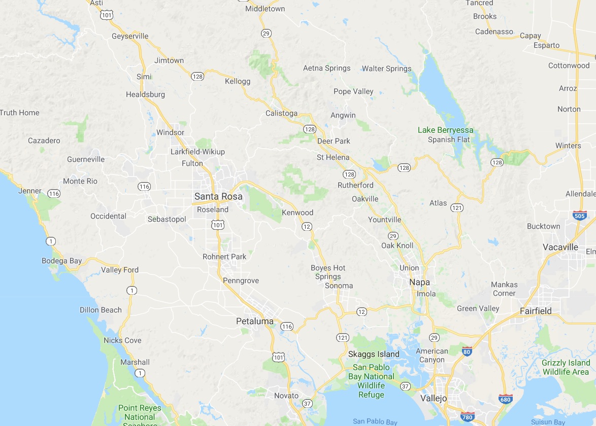
 In the North Bay and wine country, a similar pattern appears with CA 1, US 101 and CA 29, with another large gap until I-505 and I-5. We have made use of east-west roads like CA 128 to get between them as in our recent wine-country trip that featured Elsie the Library Cat. But this is a long detour.
This north-south axis may be frustrating at times (especially the further north one gets), but there is nothing particularly sinister about it. It’s all a matter of Calfornia’s geology. The interface of the Pacific and North American plates that give us our reputation for earthquakes also lead to long bands of north-south mountain ranges and valleys. The Sierra Nevada may be the most dramatic, but it is only one of several that form vertical stripes, with the Central, Sacramento, Salinas, and Napa valleys in between. The San Francisco Bay can be seen as another such valley in a way, with shallows bounded by high hills running north-south.
The exception to the “north-south rule” can be found south of the San Gabrial mountains and into the desert. From Los Angeles and San Diego, one can easily travel east-west to the desert towns and to the Arizona border on I-10 and I-8, with a network of other east-west freeways in between. It is definitely a different experience traveling down there once one gets over the Grapevine or the Tehachapi Pass and into the southern realms. As for the rest of the state, there is no escaping the geographic reality, so it is best to embrace it, and even enjoy it.
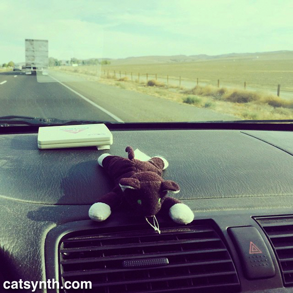
 I-5 takes a more direct route through the sparsely populated western side of the Central Valley, compared to CA 99 (former US 99) that connects the major towns and cities of the region, including Fresno and Bakersfield. The small communities that one does pass are related to travel on the interstate itself or to the farms and orchards that dominate the landscape between stretches of emptier space.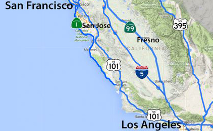


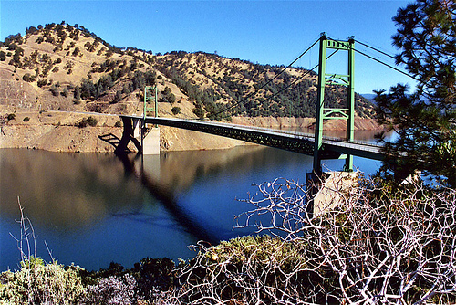


 Highway 162 crosses the bridge, and connects the town of Oroville to Highway 70 and the Sacramento Valley. Highway 162 continues westward towards the wide flat Thermalito Afterbay, a wide shallow reservoir that is part of the Oroville system, and serves both agricultural water delivery and regulation of the main lake and the power plant.
 Highway 70 heads southwards towards Sacramento, passing the towns of Marysville and Yuba City , where it continues as a freeway towards Sacramento. Yuba City is interesting as the home to perhaps the largest Sikh community outside the state of Punjab in India. Many of the Sikh settlers in the area became farmers, in particular peach farmers. And the town hosts a large annual festival that brings in thousands from outside the area.


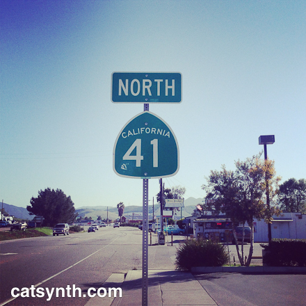


 After a few cold weeks in the city, I am looking back fondly at my trip to the desert this past summer. Today we look at the final leg of that trip, leaving Joshua Tree on Highway 247. I had been curious about this highway which heads north from Yucca Valley at a junction with Highway 62 out into the desert hills. There is actually quite a bit of residential development near the start of highway, with a great many dusty side streets with a diverse collection of homes. I acquired one of my sculptures at the home of an artist there several years ago. But on this occasion, I kept going north. One of first reassurance markers was, appropriately enough, next to a joshua tree.


 Here, 247 turns north towards Barstow, so I switched onto Highway 18 heading east out of town. This odd highway winds around the mountains and valleys of San Bernardino county through a variety of geographies. The section that I traveled started with crumbly red-brown rock formations up against the sparse commercial development of the town. After an empty section, the road entered the town of Apple Valley where the landscape turned all of a sudden into suburban development and the highway became a multilane expressway known as the “Happy Trails Highway”. The sharp contrast was a little jarring, but not unexpected given the history of development in the deserts north and east of Los Angeles. But this was not the stark industrial development as I had seen in


